Image description: Some of this site to the east is inside the Errinundra National Park (see red line). Pink area to the west shows clearfell logging from in the year 2000.
Logged in 1999/2000.
All state forest in this small site that was available for logging has been logged.
Public land management zones within RSOS |
||
Approximate total area: 145ha |
|
|
|
% |
ha |
F&F reserves |
20%
|
29
|
SPZ |
55%
|
79.75
|
SMZ |
0%
|
0
|
GMZ |
0.25
|
36.25
|
Private |
0
|
0
|
Area logged |
1
|
145
|
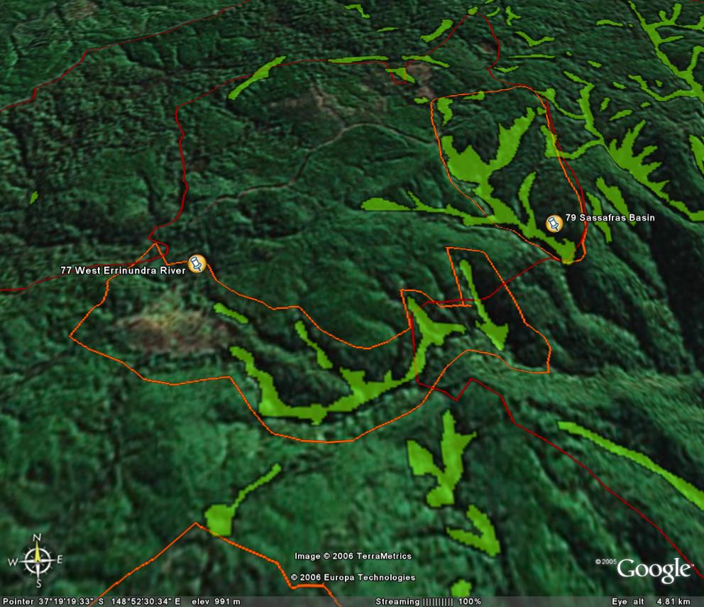
The Rainforest EVC (Ecological Vegetation Class) and RSOS boundaries have been overlayed onto Google Earth imagery to produce images that give a three dimensional perspective of the landscape where rainforest communities exist in East Gippsland. (Note: Rainforest EVC colour code is not consistent for all images.)
Image description: Some of this site to the east is inside the Errinundra National Park (see red line). Pink area to the west shows clearfell logging from in the year 2000.