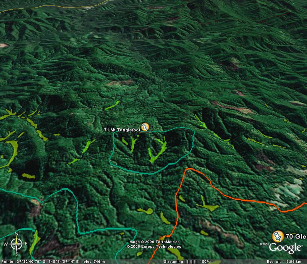
Image description: Yellow is warm temperate rainforest, green in cool temperate rainforest at Mt Tanglefoot.
Lower end of Cool Temperate Rainforest altitude range.
Site in excellent condition given its location in a logged out region. Site is on the southern aspect of Mt Murrungowah, Mt Tanglefoot & Mt Kuart escarpment. Another deep gully with rainforest is located outside the site off Mt Bald.
Public land management zones within RSOS |
||
Approximate total area: 320ha |
|
|
|
% |
ha |
F&F reserves |
0%
|
0
|
SPZ |
50%
|
160
|
SMZ |
0%
|
0
|
GMZ |
0.5
|
160
|
Private |
0
|
0
|
Area logged |
0.1
|
32
|
The Rainforest EVC (Ecological Vegetation Class) and RSOS boundaries have been overlayed onto Google Earth imagery to produce images that give a three dimensional perspective of the landscape where rainforest communities exist in East Gippsland. (Note: Rainforest EVC colour code is not consistent for all images.)
Image description: Yellow is warm temperate rainforest, green in cool temperate rainforest at Mt Tanglefoot.