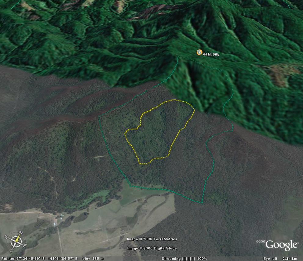
Image description: Yellow line circles two stands of warm temperate rainforest on the south facing slops of Mt Billy.
Large Stand extending well up the slope from river. Comparable to Jones Creek before fire. Privately owned part of site was purchased by the State Government in 1992.
Very interesting site despite some past logging disturbance
Public land management zones within RSOS |
||
Approximate total area: 140ha |
|
|
|
% |
ha |
F&F reserves |
0%
|
0
|
SPZ |
75%
|
105
|
SMZ |
0%
|
0
|
GMZ |
0.25
|
35
|
Private |
|
0
|
Area logged |
0.2
|
28
|
The Rainforest EVC (Ecological Vegetation Class) and RSOS boundaries have been overlayed onto Google Earth imagery to produce images that give a three dimensional perspective of the landscape where rainforest communities exist in East Gippsland. (Note: Rainforest EVC colour code is not consistent for all images.)
Image description: Yellow line circles two stands of warm temperate rainforest on the south facing slops of Mt Billy.
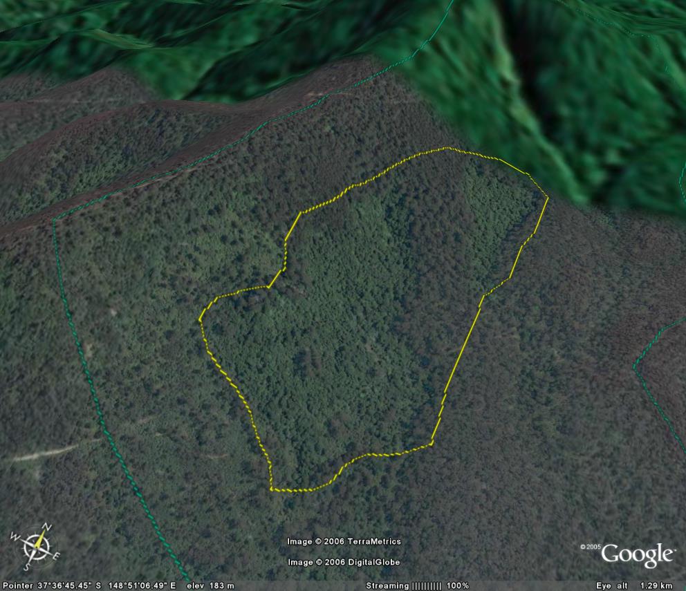
Image description: Yellow line circles largest stand of warm temperate rainforest on the south facing slops of Mt Billy.
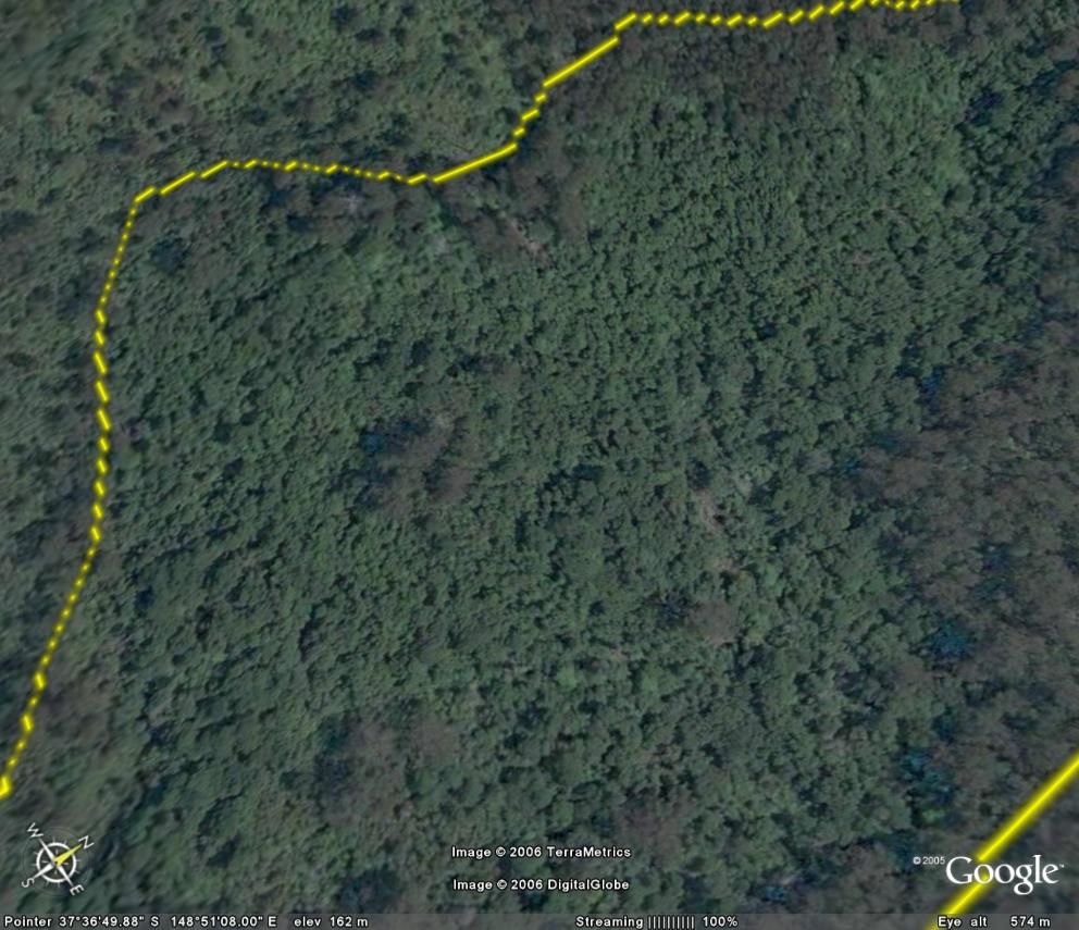
Image description: Close up of large rainforest stand.