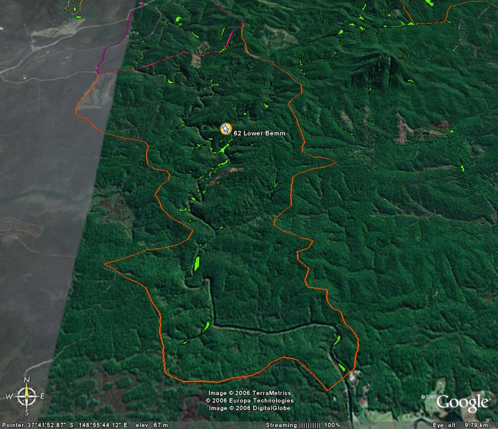
Image description: Patches of warm temperate rainforest follow the lower Bemm River.
Site Disturbed by fire and logging on east side of river (Very big site)
Very Good Site, incorporating Bemm Heritage river. Lots of Foothill forest already within both informal Special Protection Zones and Special Management Zones.
Public land management zones within RSOS |
||
Approximate total area: 5170ha |
|
|
|
% |
ha |
F&F reserves |
0%
|
0
|
SPZ |
17%
|
878.9
|
SMZ |
19%
|
956.45
|
GMZ |
0.645
|
3334.65
|
Private |
|
0
|
Area logged |
0.06
|
310.2
|
The Rainforest EVC (Ecological Vegetation Class) and RSOS boundaries have been overlayed onto Google Earth imagery to produce images that give a three dimensional perspective of the landscape where rainforest communities exist in East Gippsland. (Note: Rainforest EVC colour code is not consistent for all images.)
Image description: Patches of warm temperate rainforest follow the lower Bemm River.