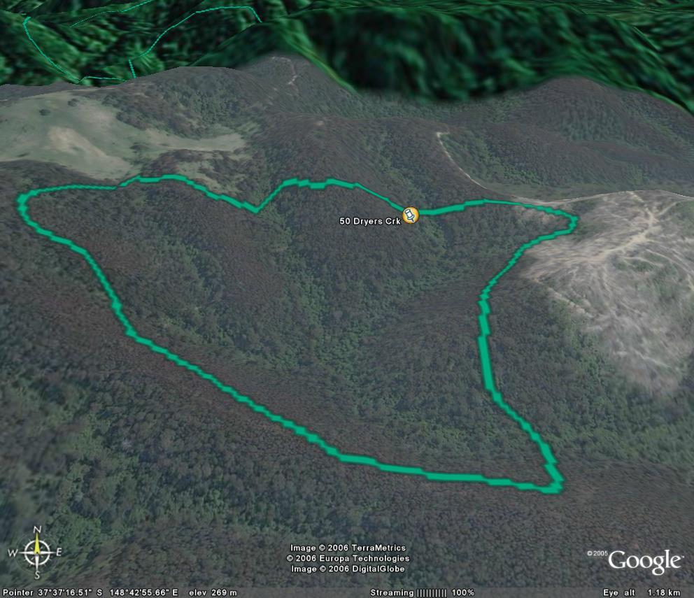
Image description: Large stand of warm temperate rainforest in foot hills. Note past logging to the east and private land to the north.
Logging and roads.
Small site in SPZ. Logging to the northern edge is of concern.
Public land management zones within RSOS |
||
Approximate total area: 80ha |
|
|
|
% |
ha |
F&F reserves |
0%
|
0
|
SPZ |
0%
|
0
|
SMZ |
0%
|
0
|
GMZ |
0.8
|
64
|
Private |
0.2
|
16
|
Area logged |
0.1
|
8
|
The Rainforest EVC (Ecological Vegetation Class) and RSOS boundaries have been overlayed onto Google Earth imagery to produce images that give a three dimensional perspective of the landscape where rainforest communities exist in East Gippsland. (Note: Rainforest EVC colour code is not consistent for all images.)
Image description: Large stand of warm temperate rainforest in foot hills. Note past logging to the east and private land to the north.
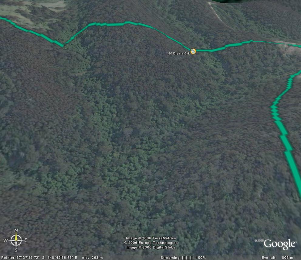
Image description: Close up of individual rainforest trees in Dryers Creek.