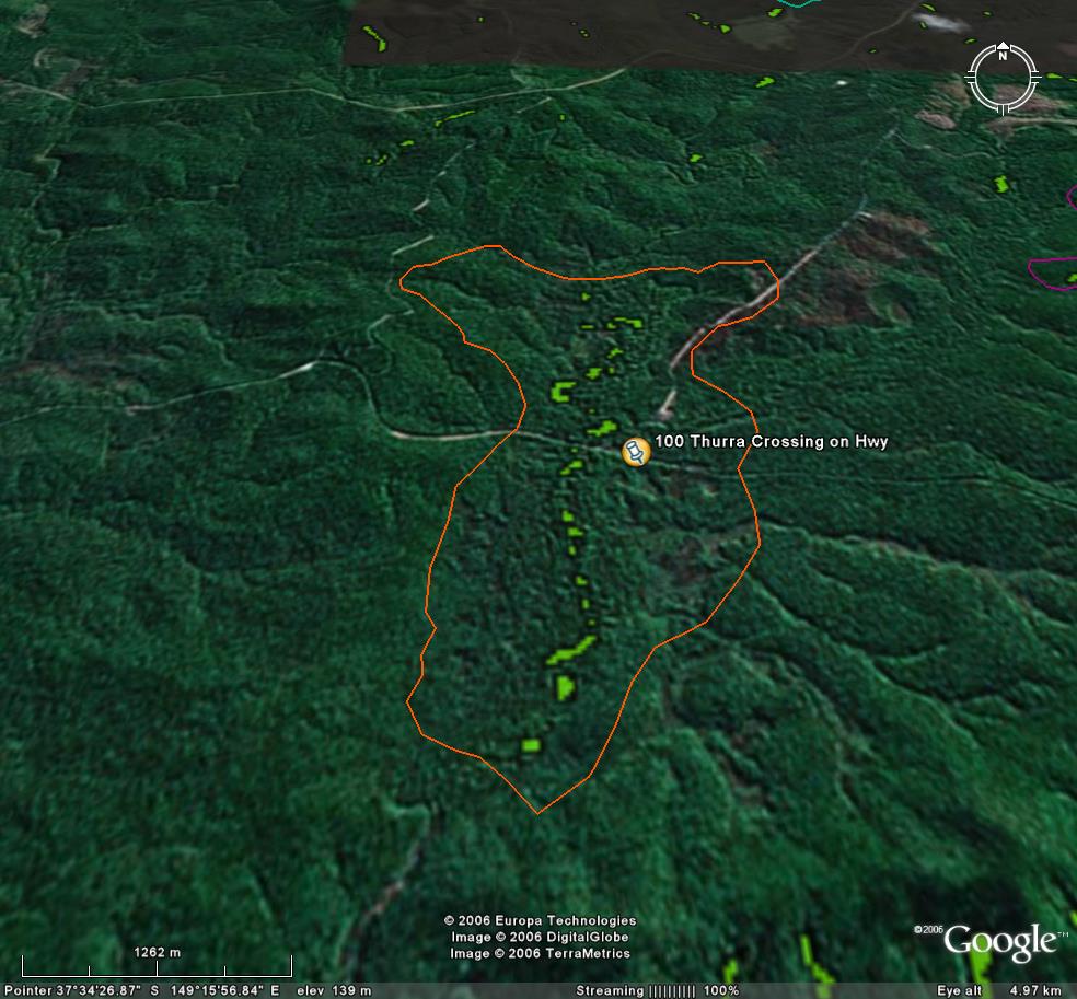
Image description: Extensive stands of warm temperate rainforest (green) along the Thurra River.
Mosaic of burnt & unburnt rainforest along river. Drummer rainforest walk.
Excellent Site.
Public land management zones within RSOS |
||
Approximate total area: 695ha |
|
|
|
% |
ha |
F&F reserves |
0%
|
0
|
SPZ |
55%
|
382.25
|
SMZ |
0%
|
0
|
GMZ |
0.45
|
312.75
|
Private |
0
|
0
|
Area logged |
0.1
|
69.5
|
The Rainforest EVC (Ecological Vegetation Class) and RSOS boundaries have been overlayed onto Google Earth imagery to produce images that give a three dimensional perspective of the landscape where rainforest communities exist in East Gippsland. (Note: Rainforest EVC colour code is not consistent for all images.)
Image description: Extensive stands of warm temperate rainforest (green) along the Thurra River.